Monitoring Life-Changing Work from Space
It’s no mystery that thousands of satellites orbit the Earth, helping monitor the weather, facilitating communications and providing navigation for programs like Google Maps.
But did you know that WFP is using that same technology to fight hunger?
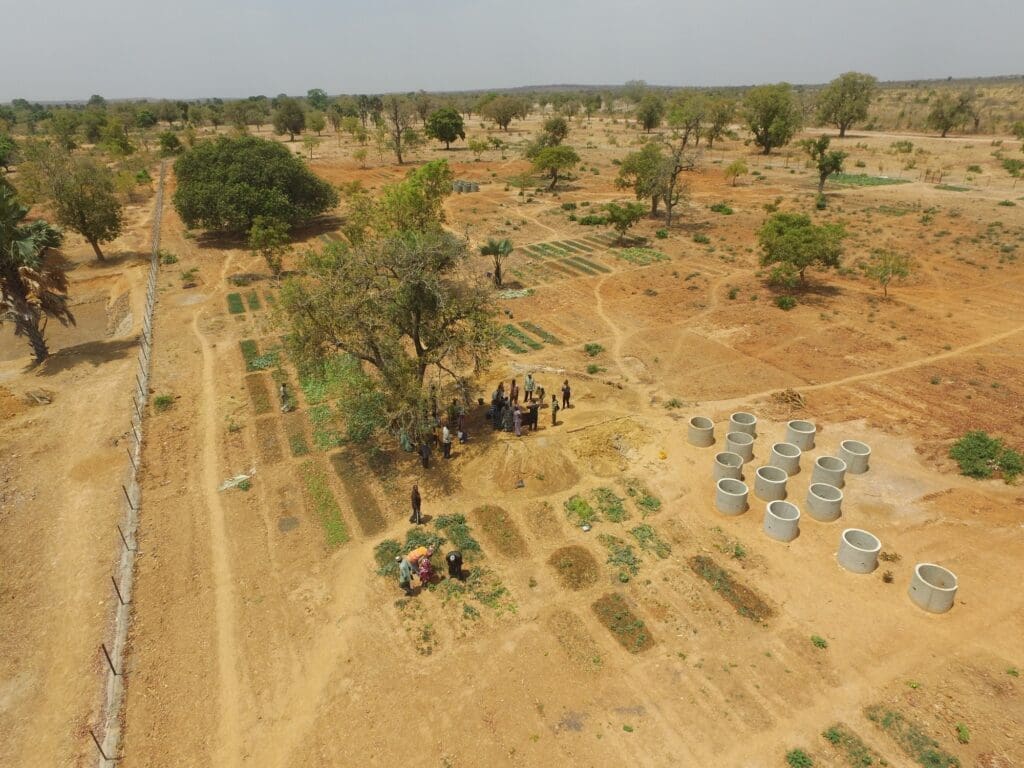
Harnessing the power of Earth Observation satellite technology, WFP’s Asset Impact Monitoring System (AIMS) project monitors the progress of long-term and large-scale landscape changes resulting from its resilience programming around the world.
By rehabilitating degraded land, diversifying crops with smallholder farmers, and building community gardens, irrigation systems and roads among other projects, WFP helps vulnerable communities in fragile and resource-scarce environments better withstand shocks like floods or drought to ensure they have enough to eat.
Satellite technology gives WFP a unique opportunity to track these changes in real-time. It is more powerful than the human eye and can be used in areas of limited resources, conflict or high-security risk.
In 2017, with support from WFP’s Innovation Accelerator, the humanitarian agency completed the AIMS pilot project, gathering satellite imagery and other very high-resolution (VHR) imagery in five countries to better understand how these projects have changed the landscape over time. Initial analyses show how degraded landscapes have turned into highly vegetated areas and how new settlements and cultivated lands have developed alongside feeder roads. Following these results, 15 additional countries will join the project in 2018.
In South Sudan, WFP helped to rehabilitate a road in 2014 to connect people between towns and increase their ability to cultivate land along the road. In just two years, there was a 27 percent increase of cultivated lands, from 3,644 hectares to 4,645 hectares (or 4,645 soccer fields!).


In Afghanistan, WFP planted roughly 1 million trees between 2013 and 2015 in the eastern part of the country that was part of an effort to re-green areas that are undergoing desertification.


And in the village of Vatan, Tajikistan, a 2.4-mile rehabilitated irrigation canal allows farmers to better water their lands. It has led to an increased area of arable land and has also made a second irrigated crop season possible.


Over the next few years, WFP hopes to scale up the AIMS project to all countries that engage in large-scale landscape intervention projects, allowing for better monitoring and helping WFP improve how the humanitarian agency plans and implements these kinds of activities in the future.